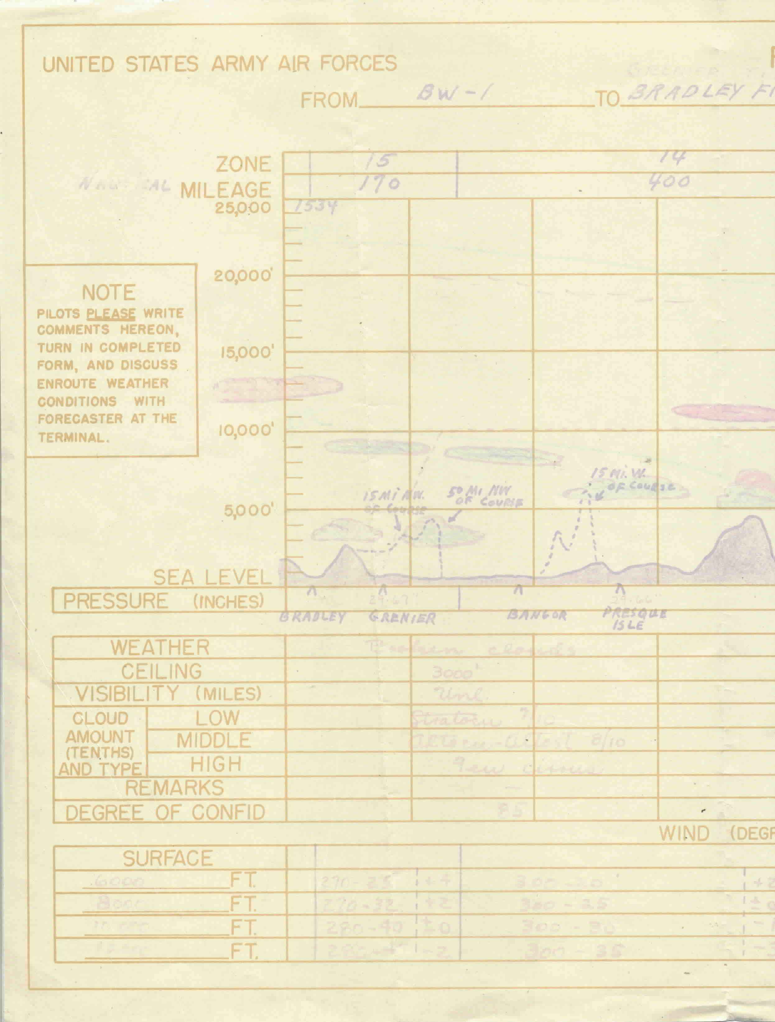
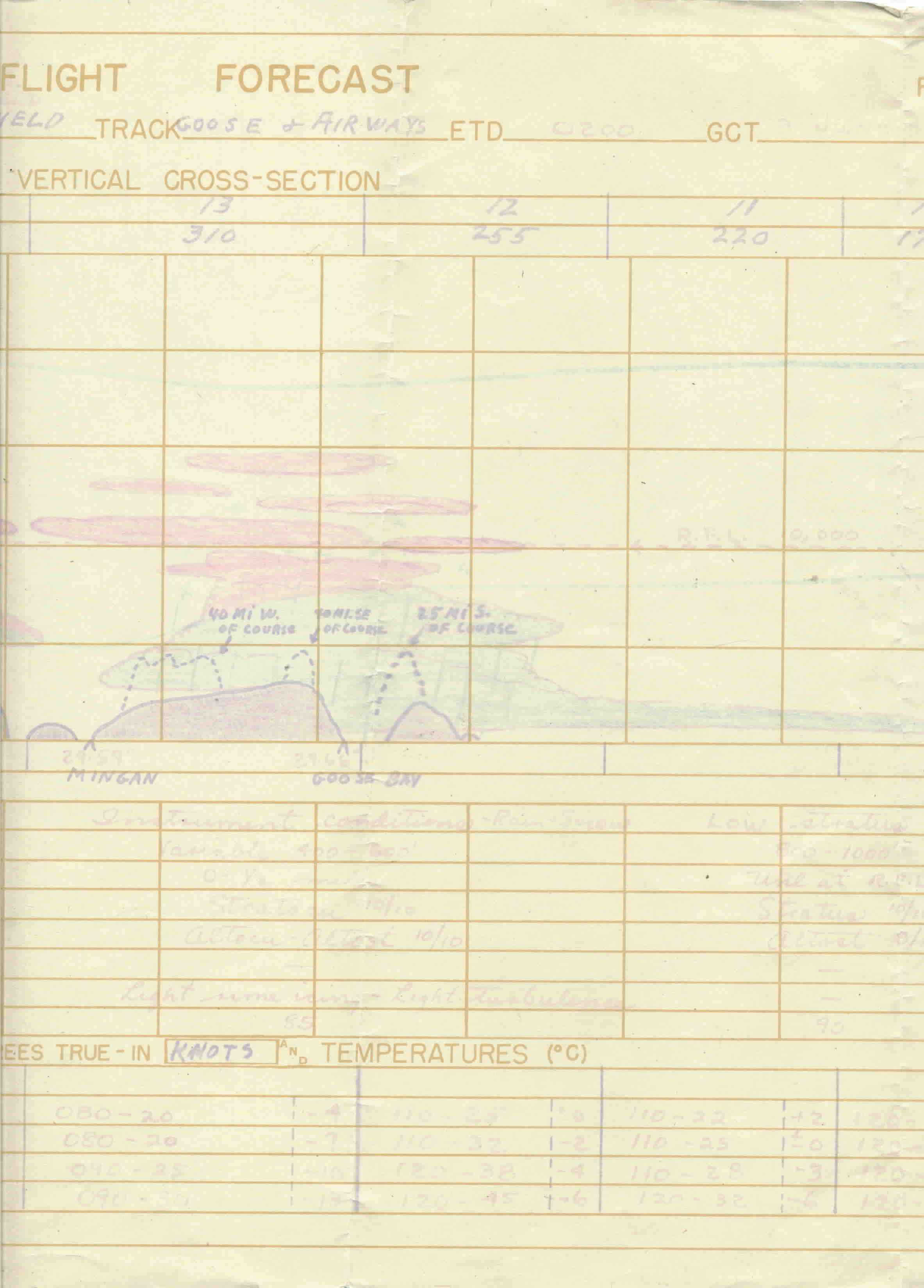
Flight forecast map for return trip to the US. Trip started at
Valley, Wales, flying to Meeks field, Iceland, then on to Buie-West field
in Greenland, then on to Bradley field Connecticut, stopping first at Grenier
field at Manchester New Hampshire. There are three maps, one for each leg
of the trip, this one being for the Greenland to New Hampshire leg.
This side of the map shows elevation of ground objects and clouds along
the course, while the reverse side of the map
is a weather map .
The elevations on this map don't correspond very
well to actual elevations between the waypoints indicated. For example,
the 6000' mountain indicated north of Bangor, is probably Mt Washington,
NH, which is south west of Bangor, although it could be Mt Katahdin, which
is north of Bangor, but closer to 5000'


