Sweden, Maine
March 3, 2015
Thanks Dave!
Data from hike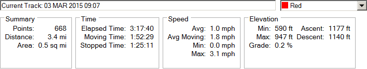 |
| Current map of hike. We began the hike in the southeast corner. 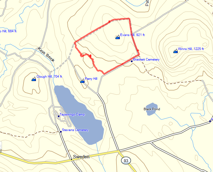 |
Section of 1858 Map of Sweden Original map of 1858 on which our path (in red) is superimposed. Note the arrow that points to the M.E. Church that was moved to the town center (see 1880 map below) in 1873. 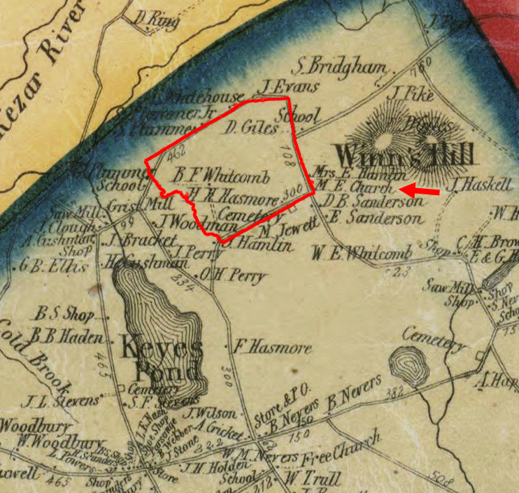 From a redrawn map of 1858 (it is easier to read the names of the landowners on this map). Note the large number of farms in the area in 1858. 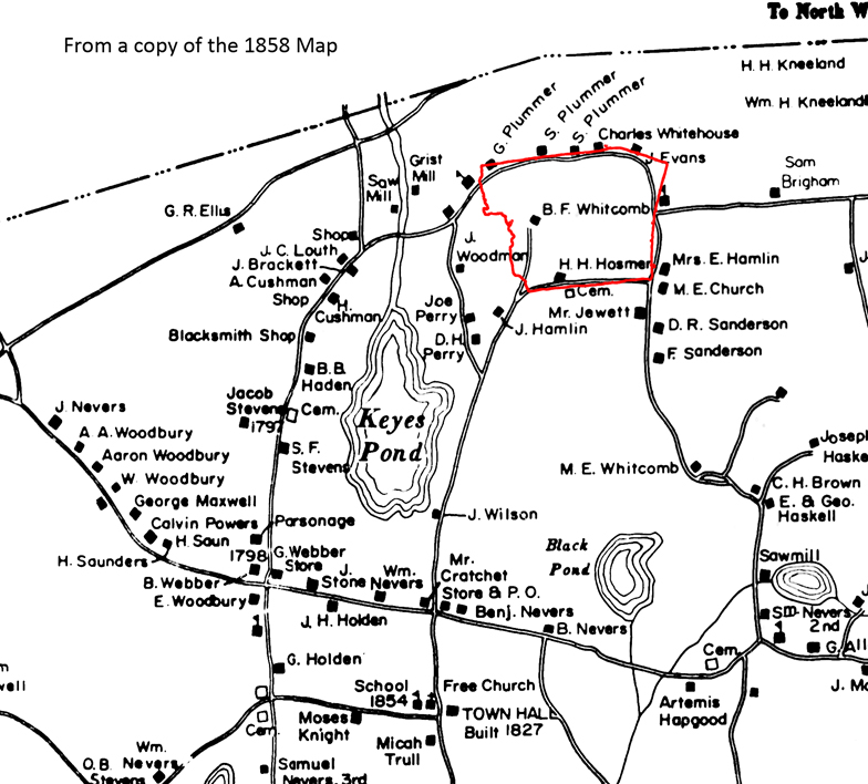 From an 1880 map of Sweden. After the civil war, many of the farms were abandoned as people went westward or to population centers elsewhere in the northeast to work. Note the new location of the M.E. Church at the town center (red arrow) 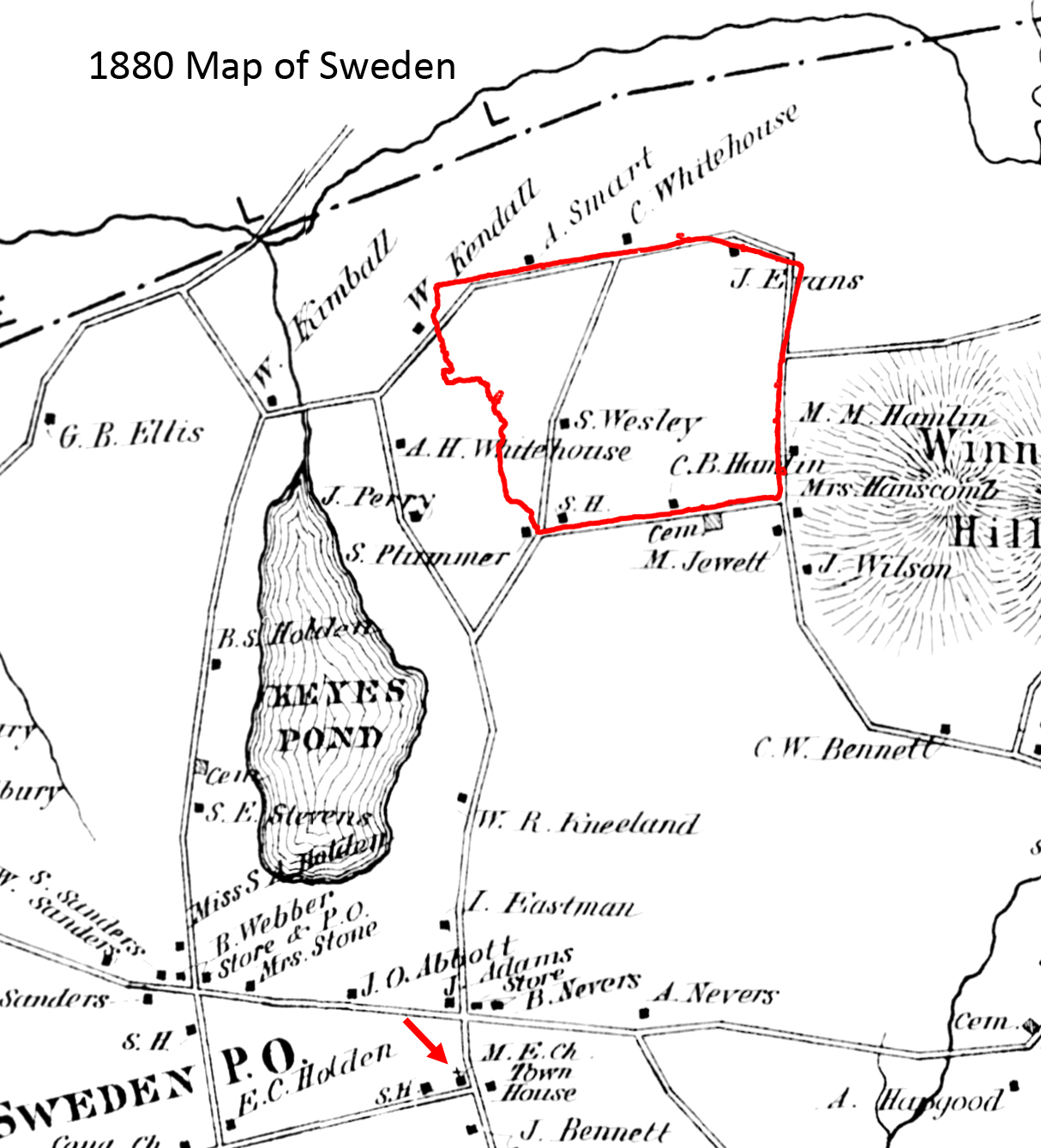 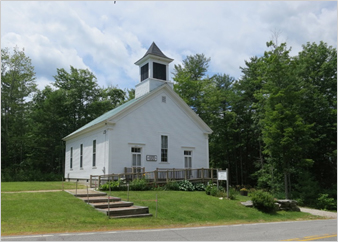 |
Google Earth Images 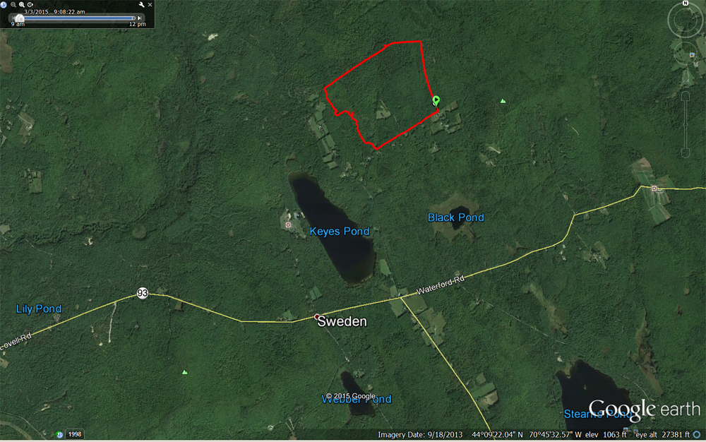 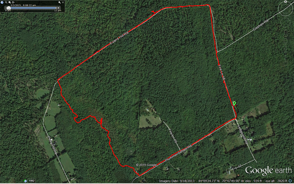 |
Butternut tree 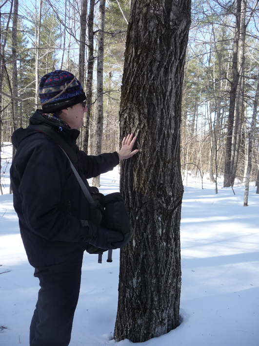 The gnarly tupelo (black gum) tree 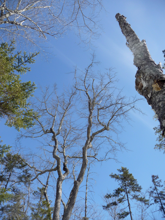 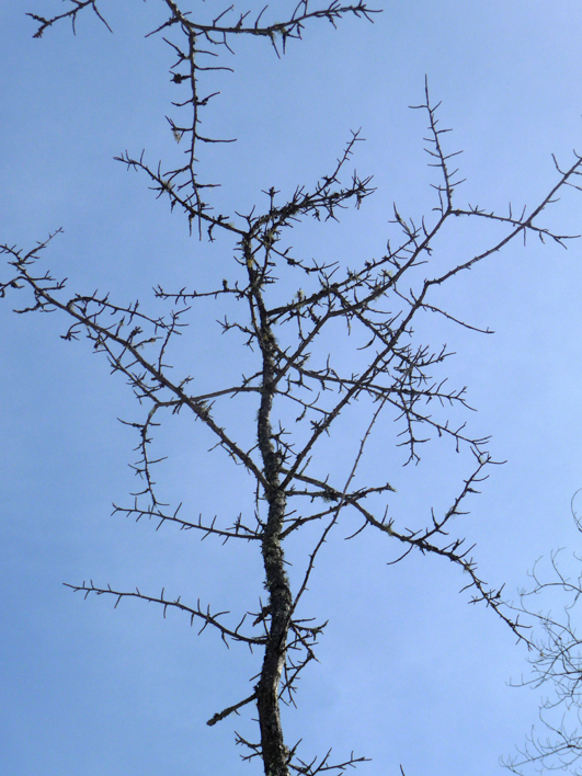 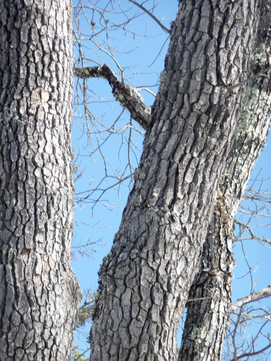 What may be a milk-white toothed polypore 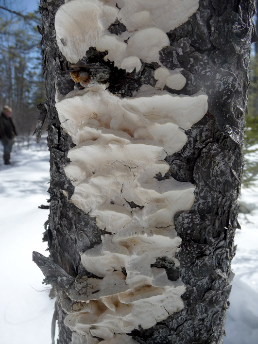 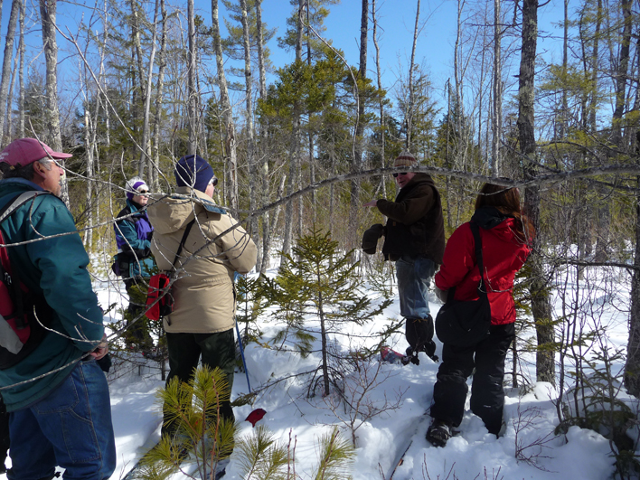 By the way, the former schoolhouse we walked by was built sometime between 1858 and 1880. In 1899, the school had 21 students. It was closed in 1919. The building in 1943: 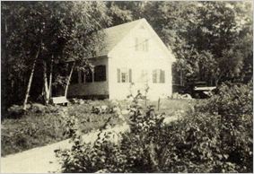 The building was moved back from the road and the addition was added. The building now: 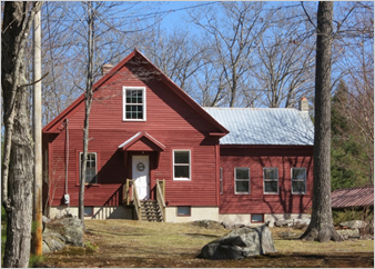 For more about Sweden's history and buildings, visit www.SwedenHistoricalSociety.org |