Marr Hill Hike #3
11-10-2013
|
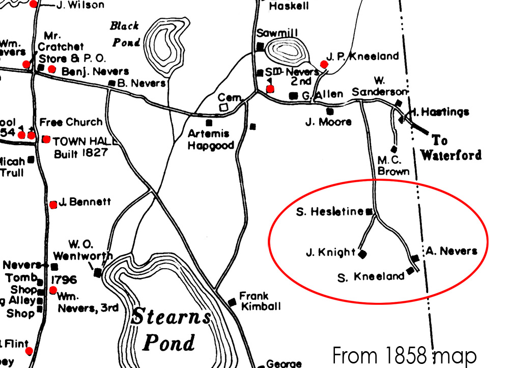
The third hike in search of old Sweden foundations on the old town road heading toward Marr Hill. The Nov 10 hike is in the
area of the J. Knight homestead shown below on the 1858 map.
The previous two
hikes focused on the Nevers and Kneeland sites (see aerial view of the trail below).
 |
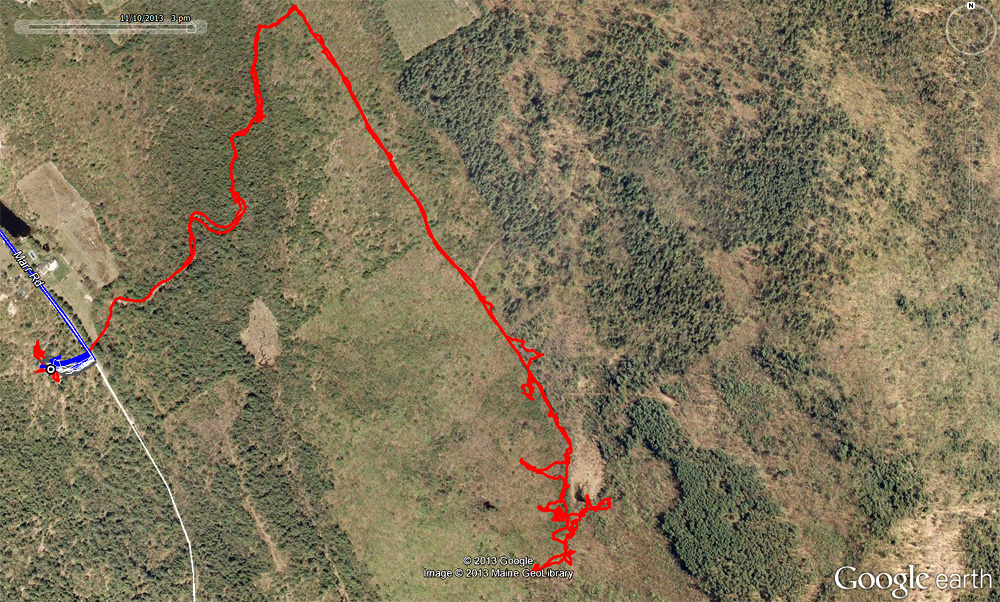
11-10-2013 Hike
 |
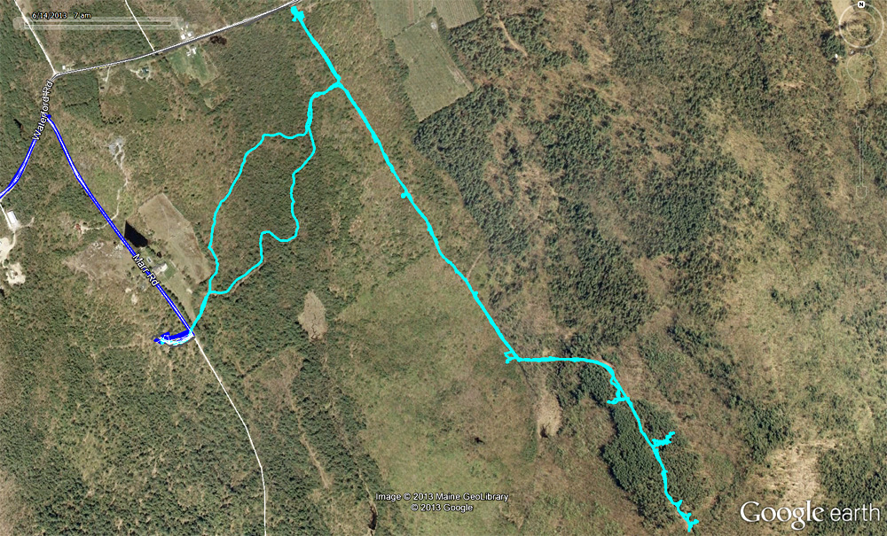
10-27-2013 Hike
 |
Topographical map of area. 11-10-13 trail in red.
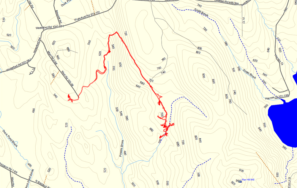 |
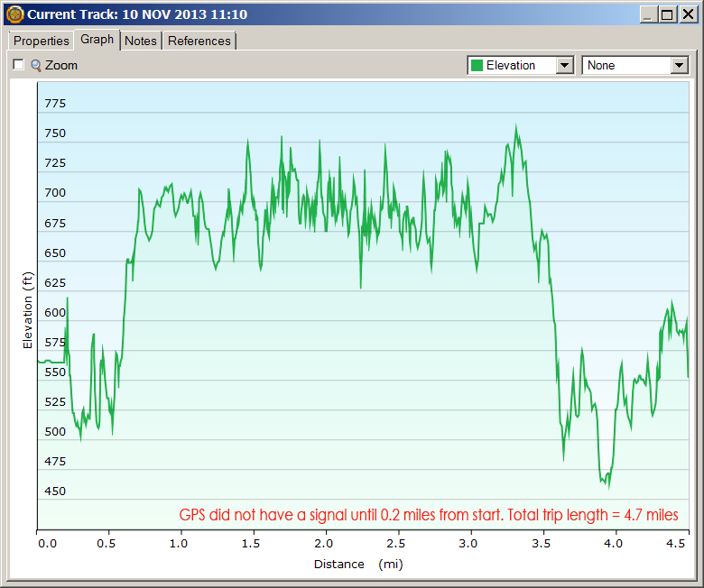
11-10-2013 Hike length and elevation.
 |
In the area of the Knight homestead. The following photos show the area.
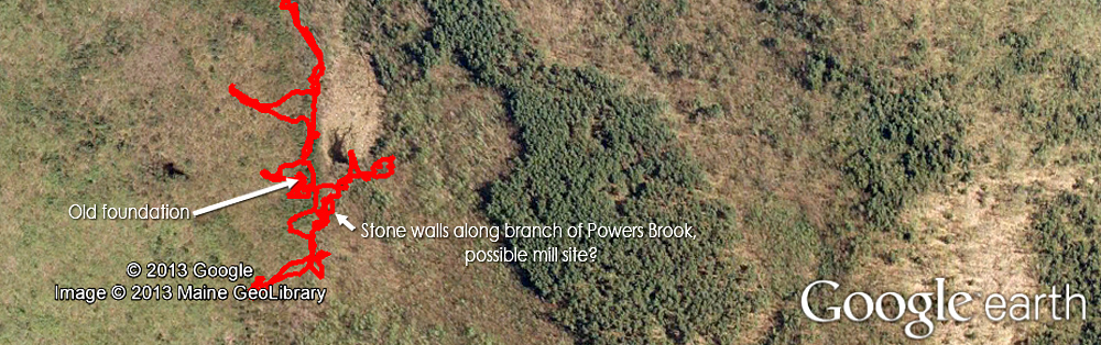 |
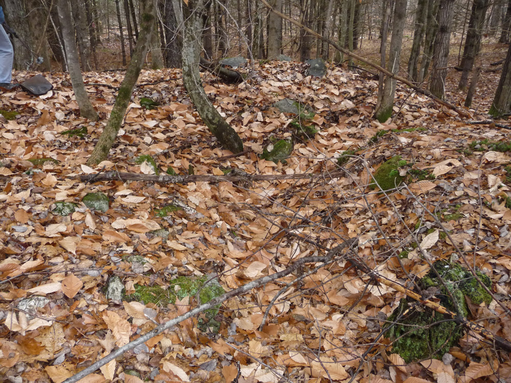
This may be the foundation of the Knight house. Not easy to see from photos, but it is clearly a foundation.
There
are several empty gas cans strewn around the area and some signs
of a 20th century fire at the site (intentionally set?).
Here's a link to a Vermont document with very interesting information about stone walls and cellar holes. Thanks for finding this Leigh!
 |
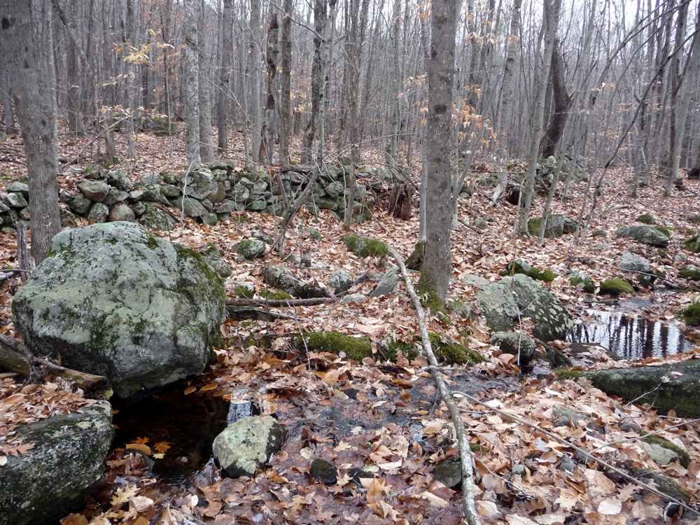
Stone walls run along each side of a branch of Powers Brook.
There are signs that there may have been a small mill at the site.
 |
Beaver dam upstream of the site shown in the above photo.
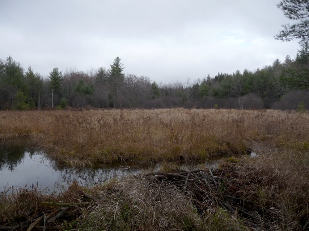 |
Downstream of possible mill site. Beavers have been busy.
 |
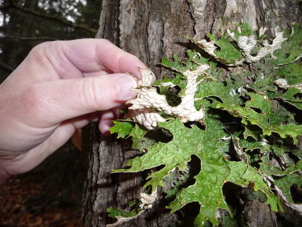
Miscellaneous photos from the hike.
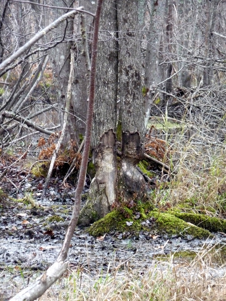
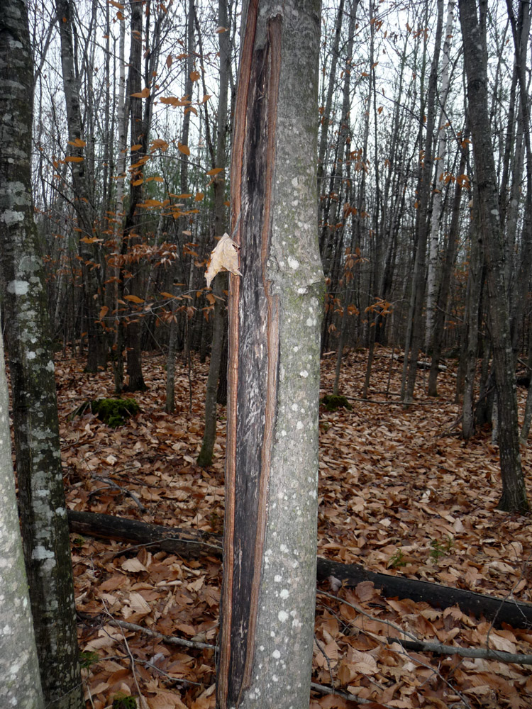
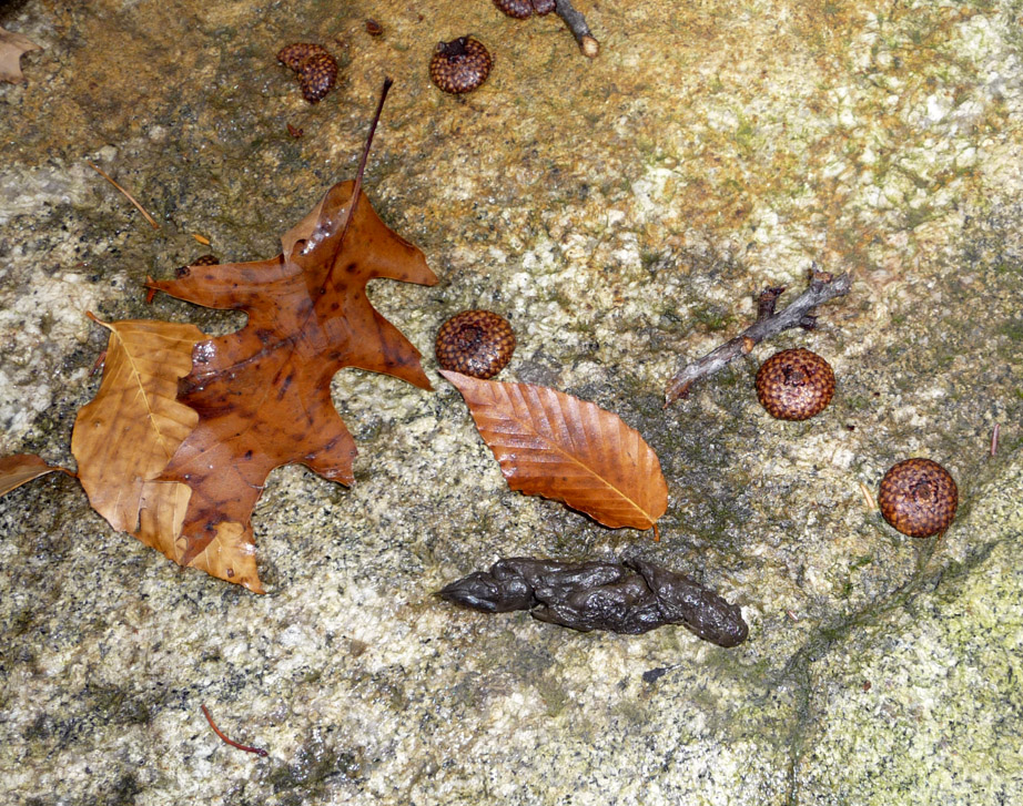
(L) Sign of deer or moose injury to tree. Many trees in this area were similarly affected. (R) Red fox scat.
  |
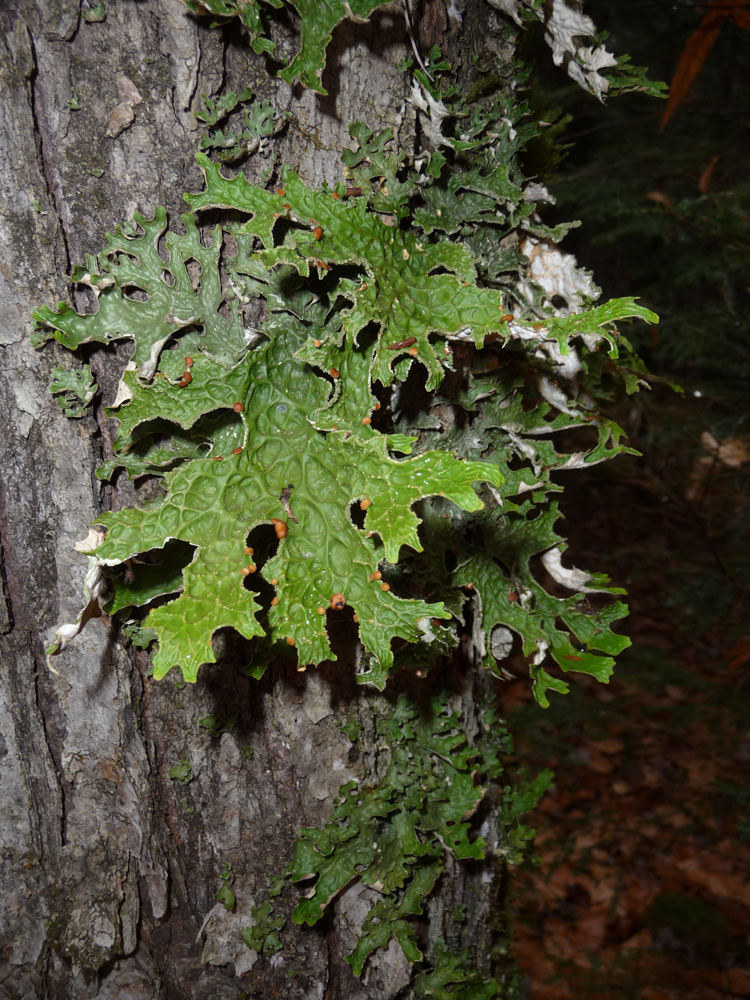
Liverwort
  |
| www.EskerRidge.com |