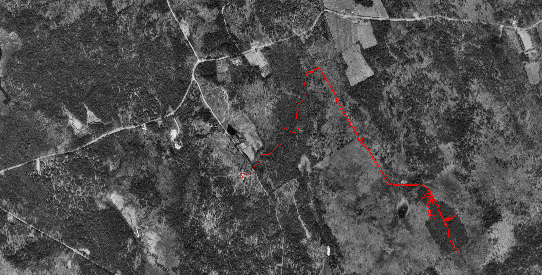
On the aerial view below, you can see the outline of land that was used for the farm
by the white pines that grew up on the cleared land after it was abandoned.
Surrounding properties clearly have deciduous trees in this image.
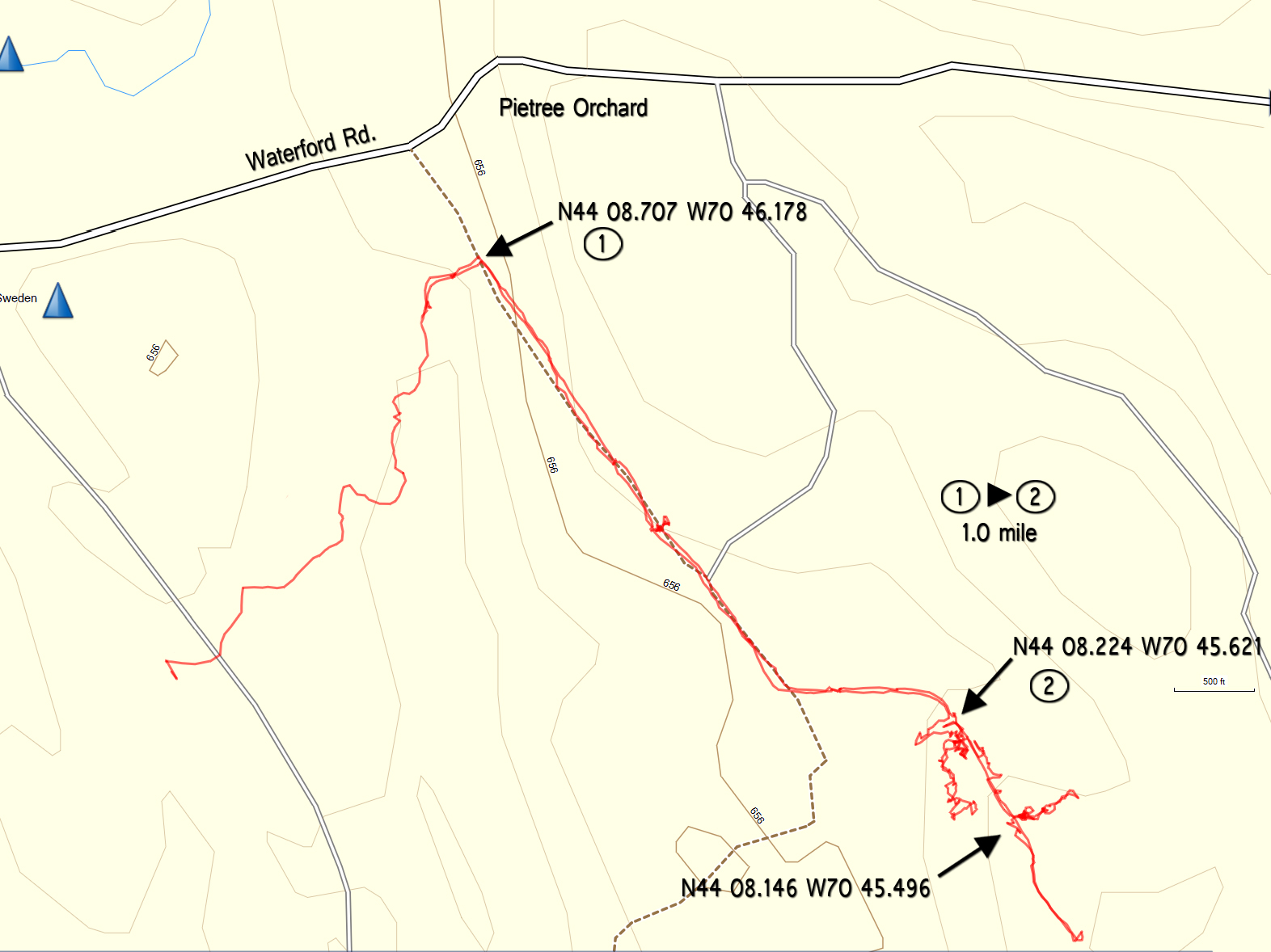
(Our track, recorded by GPS, is outlined in red)
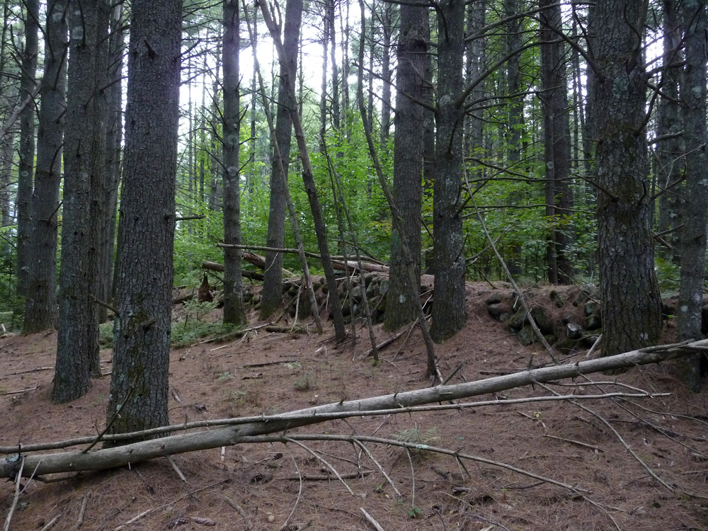
Example of the terrain in the farm areas.
Large, straight white pines with little undergrowth.
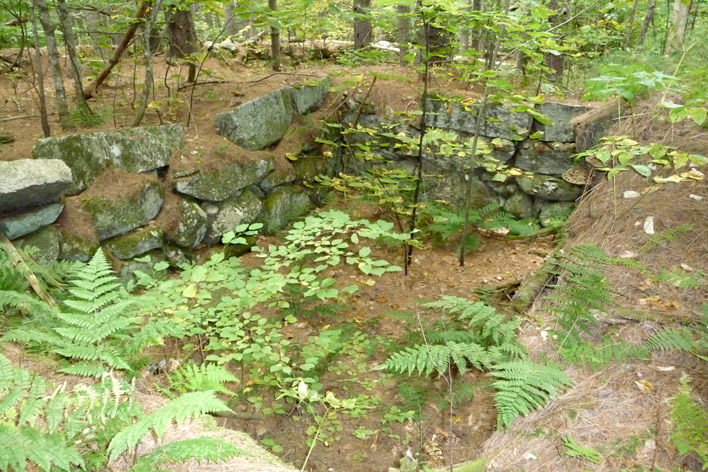
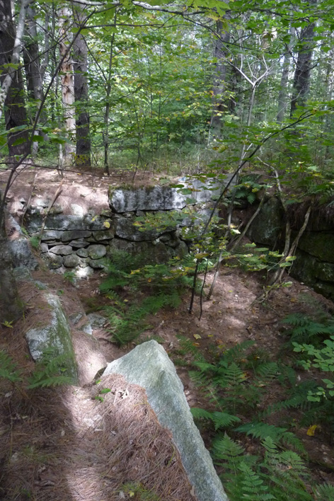
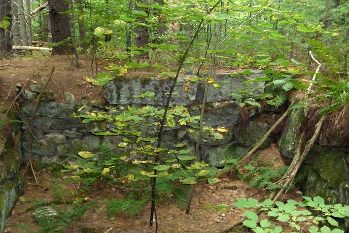
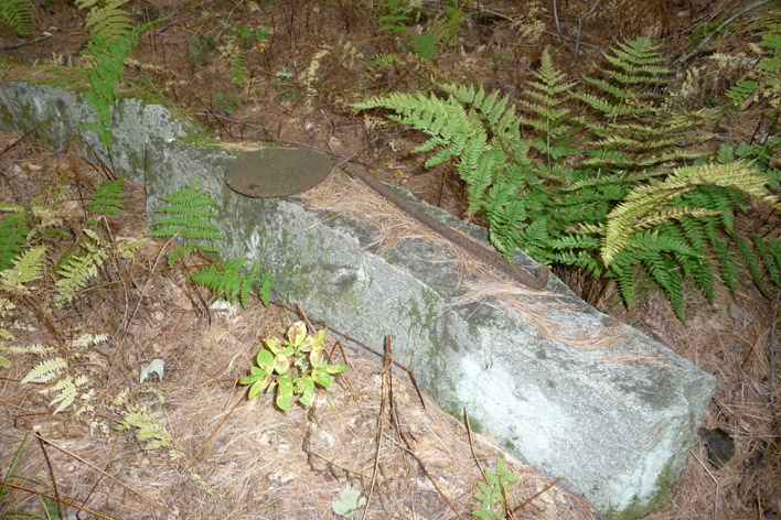
The stone walls in the area are extensive.
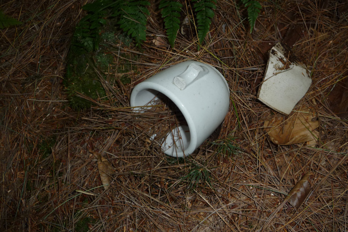
Other photos of the sites: