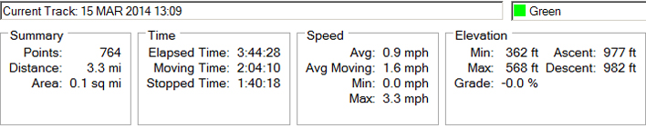
March 15, 2014
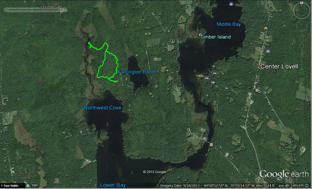
Location
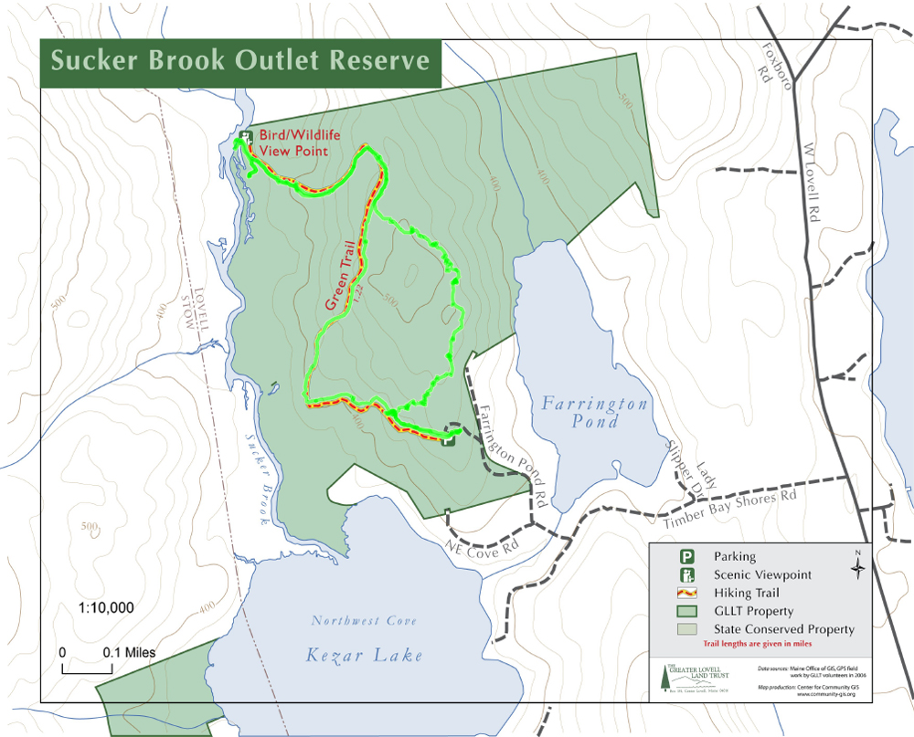
Aerial view of the trek via Google Earth.
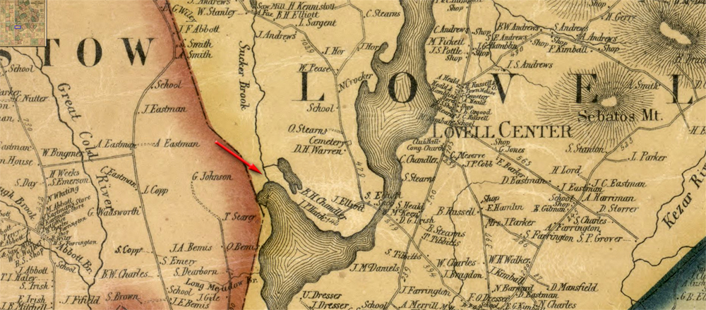
Red arrow on image below points to general location of Sucker Brook Outlet trail on the 1858 map of Oxford County.
Tracks
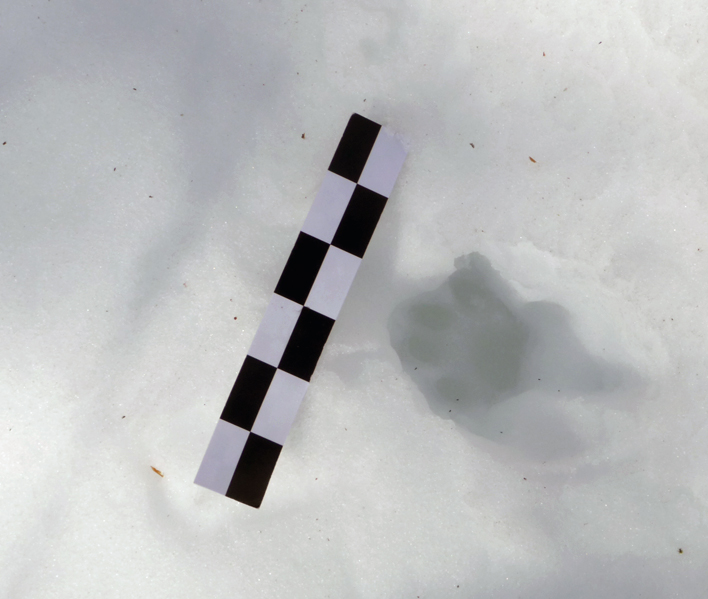
Most notable of the tracks seen on this day were those of a bobcat (below). We followed the tracks looking for signs of bobcat activity, but saw none.
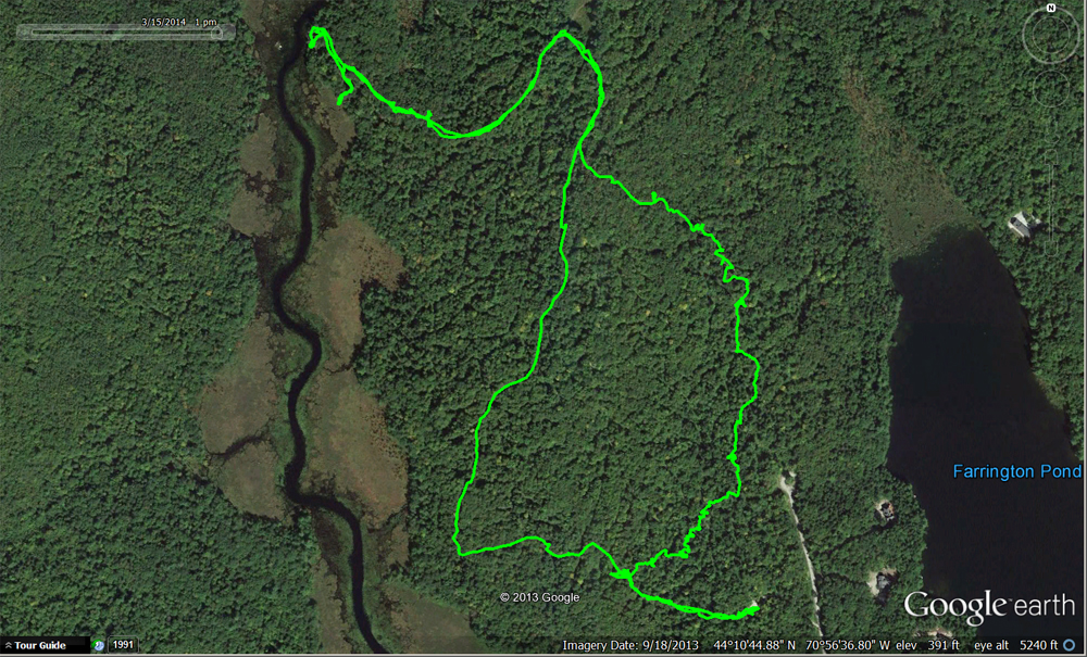
He mainly appeared to be teasing us (see our path on the east side of the trail above). The only other wild animal tracks we identified were those of snowshoe hares: unless you consider two friendly laborador retrievers wild.
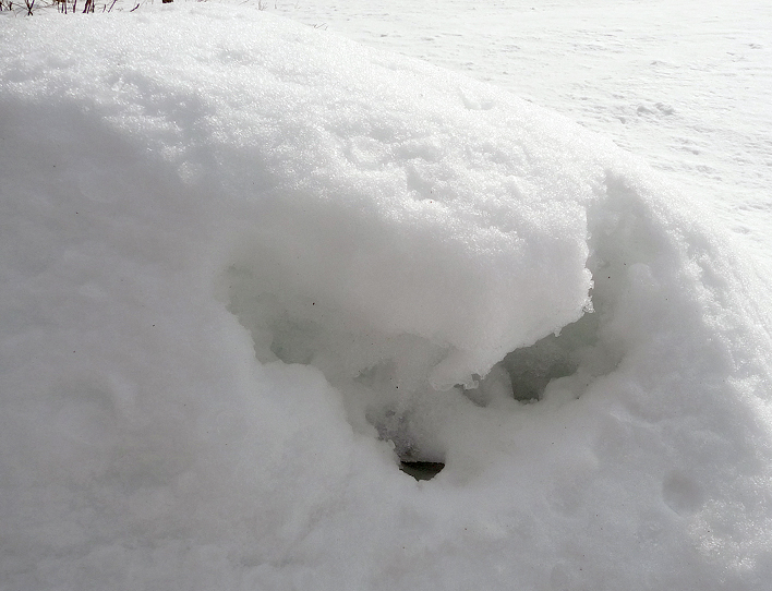
Not too visible in this photo, but there are ice crystals around the holes in this mound of snow.
Whoever was in there was a heavy breather.
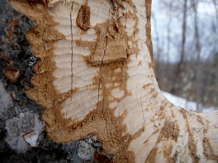
Not sure who was chowing down on this small beech.
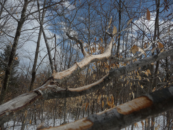
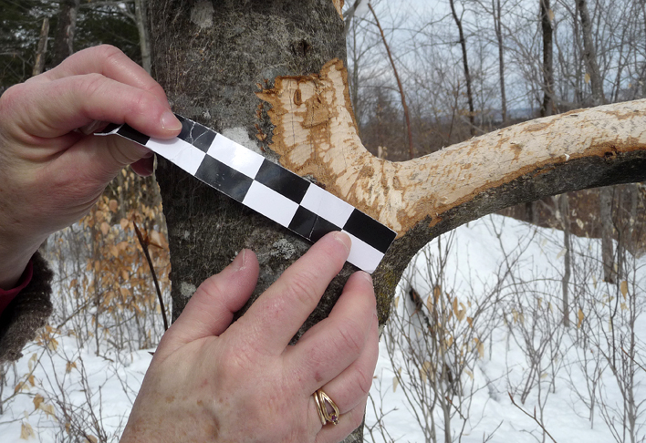
Close-up of above
When ice is out, we need to see what the mound in the center of this photo is. There were animal tracks to it, over it, and past it.
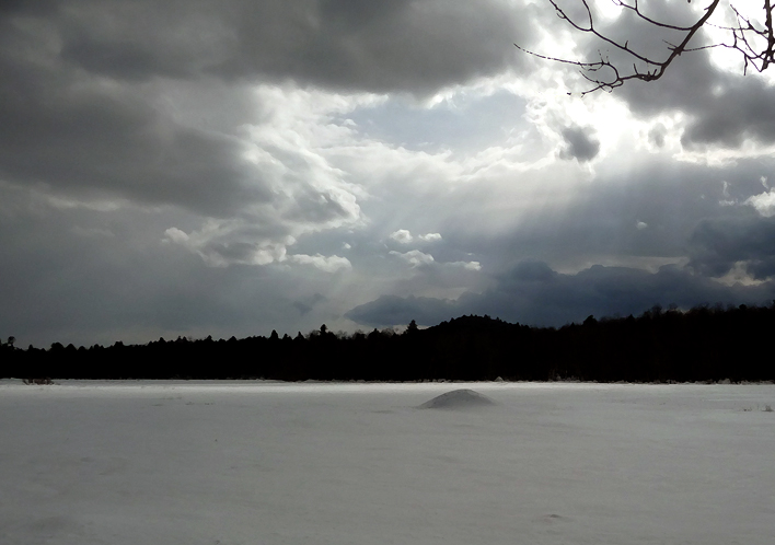
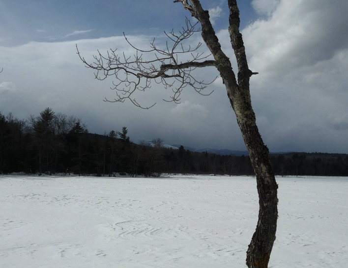
It was a beautiful day. The clouds were dramatic.