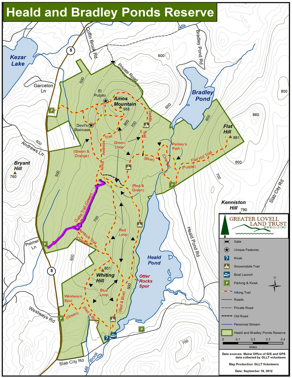
Gallie Trail - Tracking
February 8, 2014
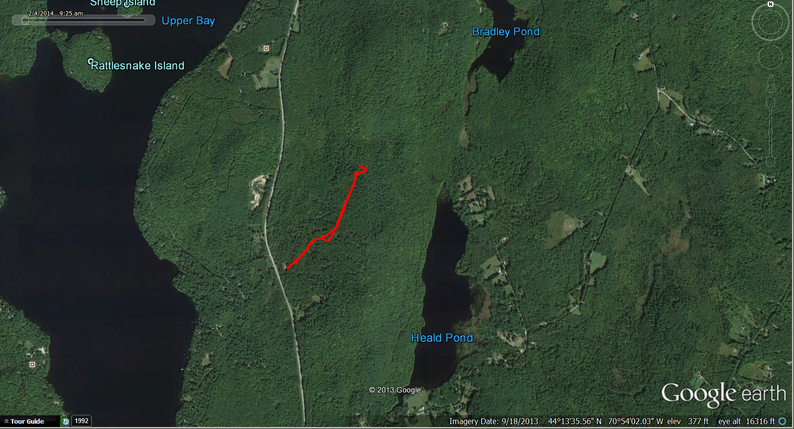
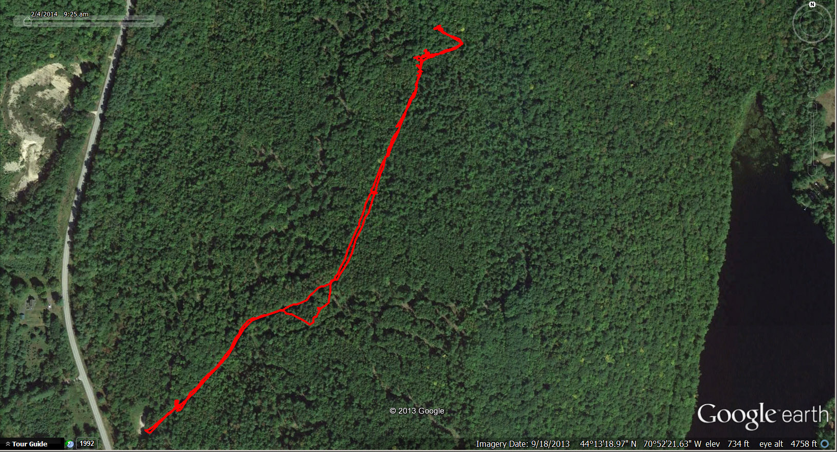
Location
Aerial view of the trek via Google Earth.
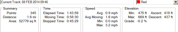
Tracks
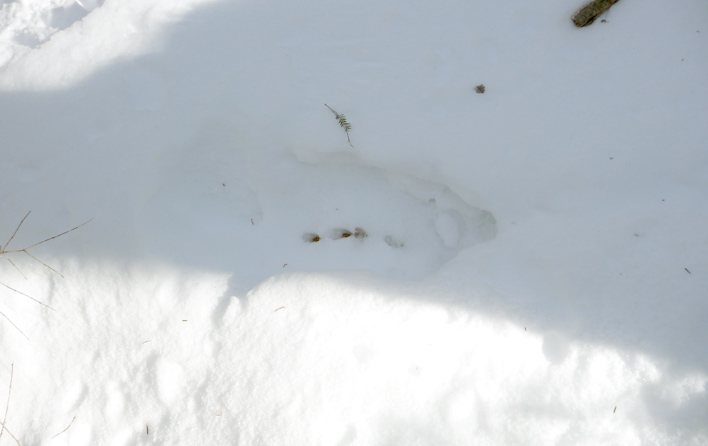
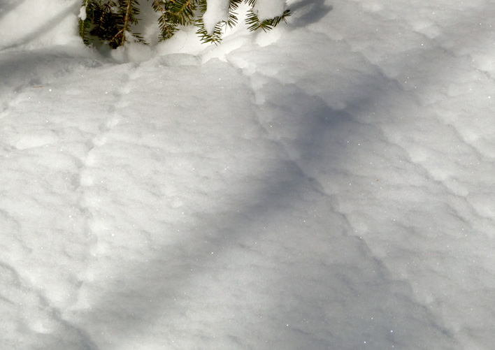
Most of the tracks seen on this day were made by small animals. Handouts prepared by GLLT docents helped differentiate the tracks made by shrews, voles, and mice based on patterns, stride (length between sets of tracks), and straddle (track width). The tracks shown in this photo are most likely made by shrews, whose tracks tend to radiate from holes like "spokes of a wheel."
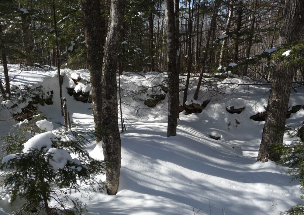
This is not a very good image of the leavings of a grouse moving through/under the snow from right to left.
This portion of the track is about 5 feet in length.
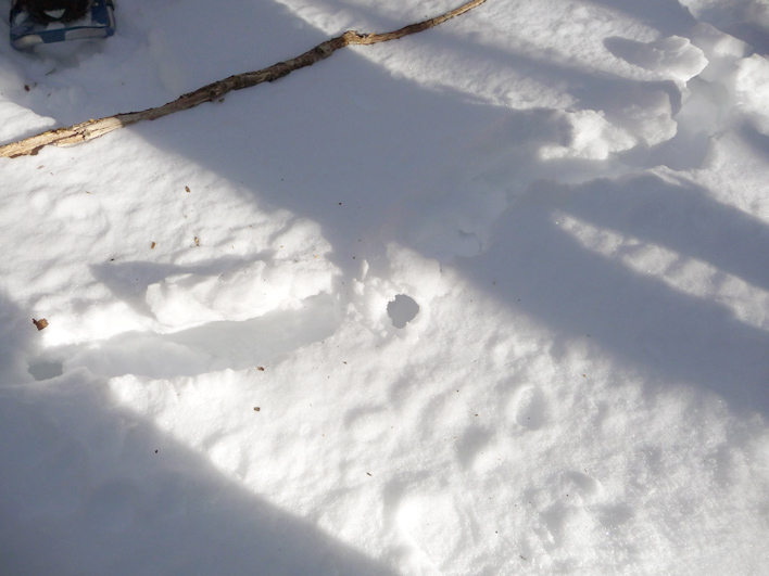
Photo below shows the left end of the track left by the grouse (above). As he escapes in flight, he leaves some scat before becoming airborne (direction of movement is right to left).
Kudos to Leigh and Joan for finding this.