December 9, 2013
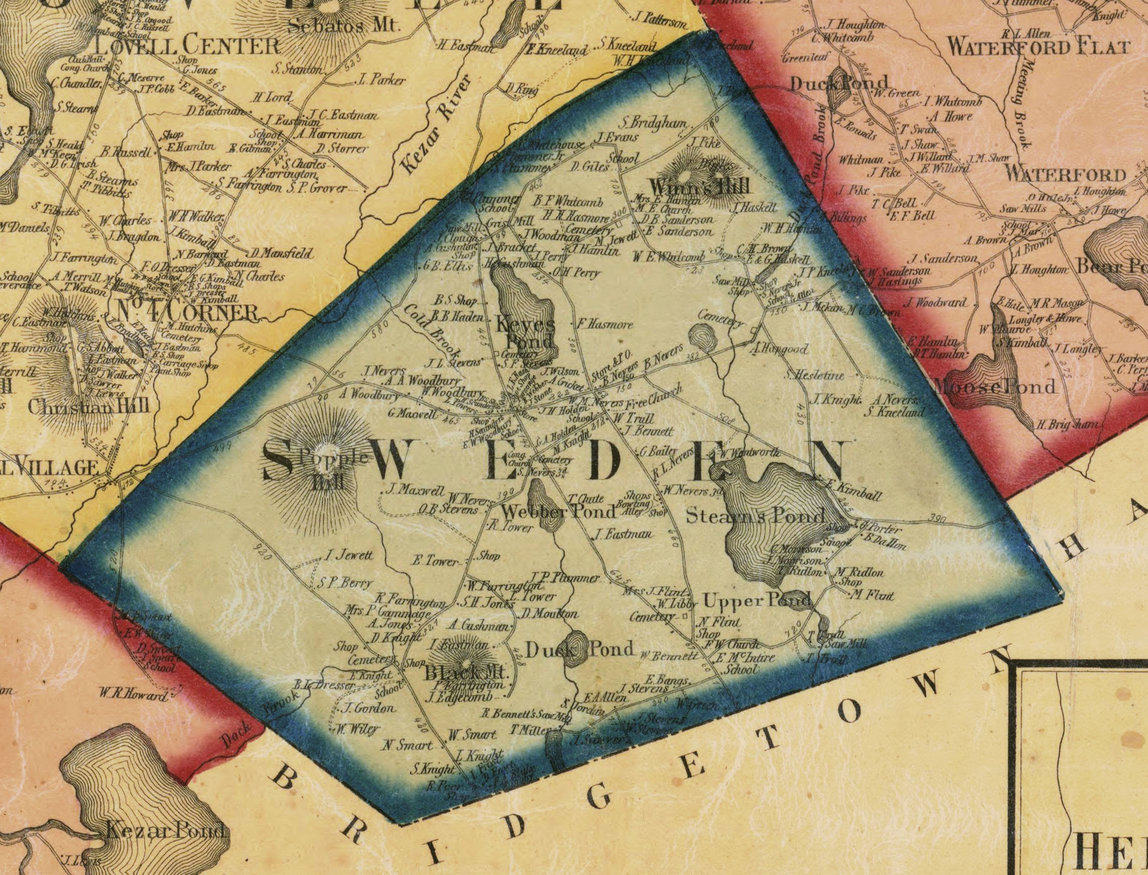
Location
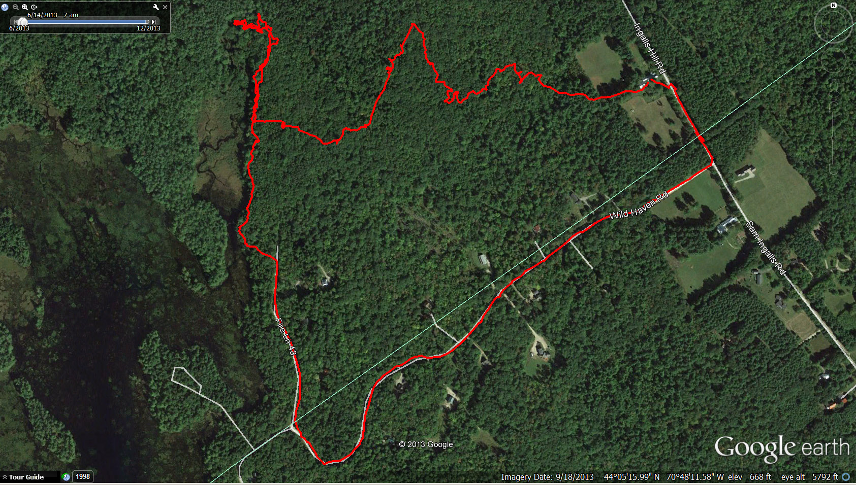
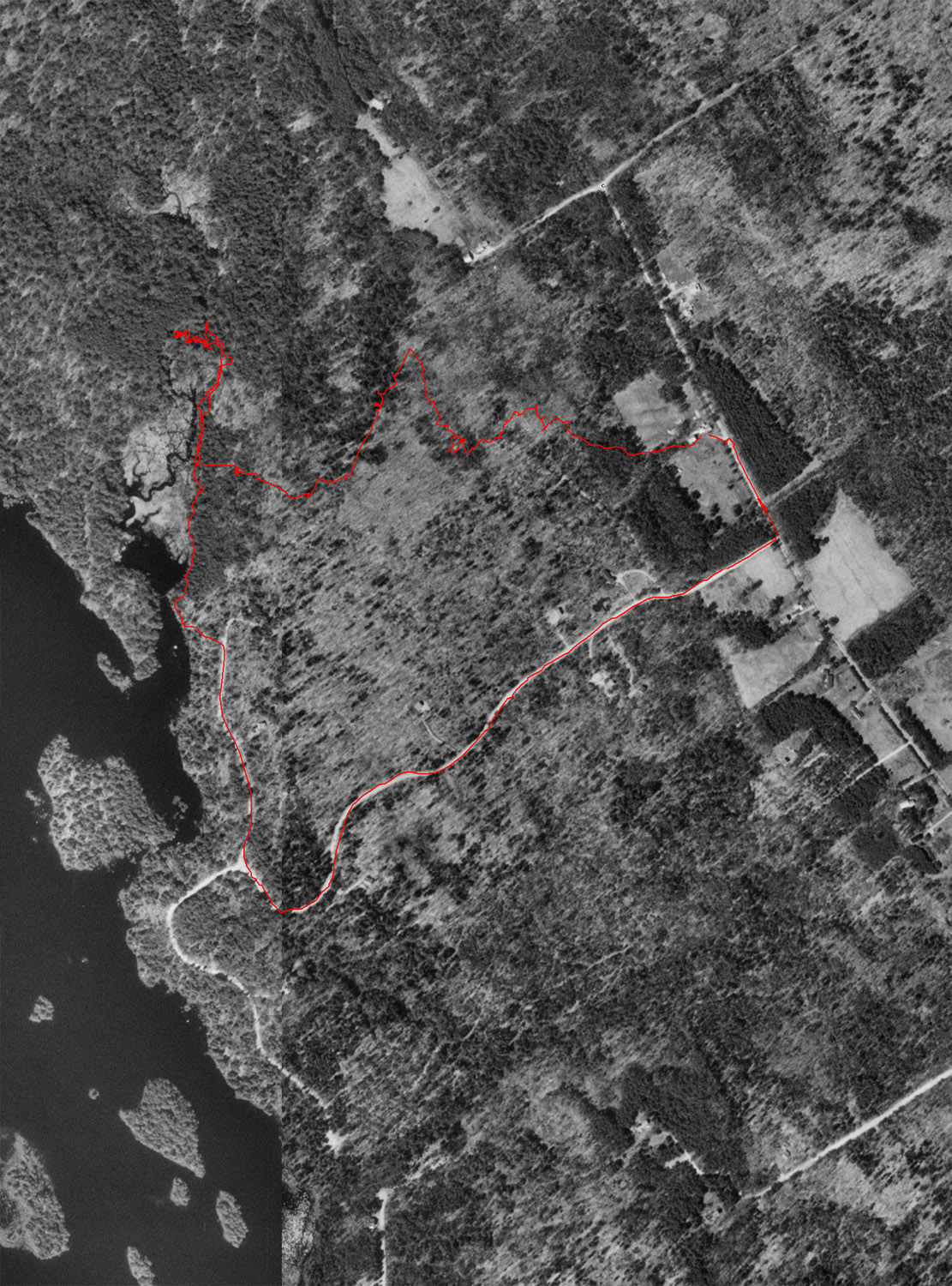
Aerial view of the trek via Google Earth. Start of trail is in the upper right (NE) "corner". The mill site is at the NW point of the trail.
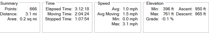
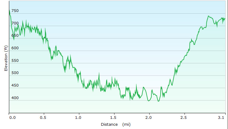
Elevation Profile
(note
that GPS elevation readings are less accurate than position
(horizontal) readings, resulting in the fluctuations shown below)
Notes and Photos
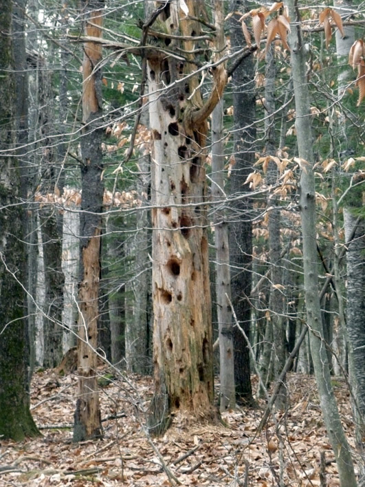
On the way to the mill site, we saw:
huge trees,
weird trees,
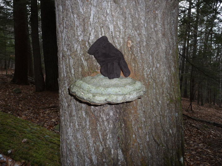
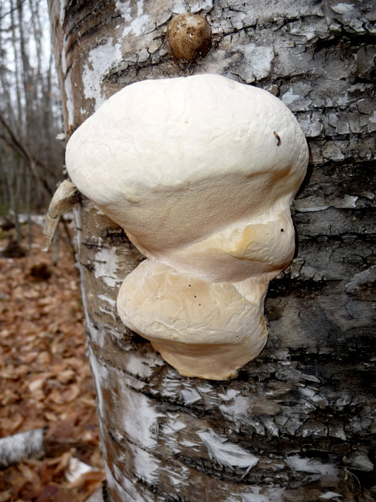
huge fungi,
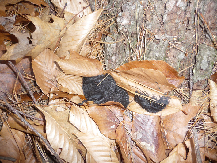
racoon outhouses,
scat of various forms and sources,
tree bark, and
on and on.
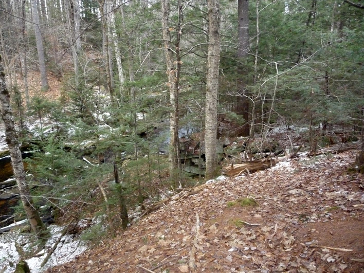
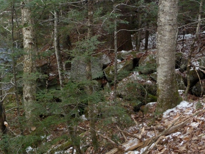
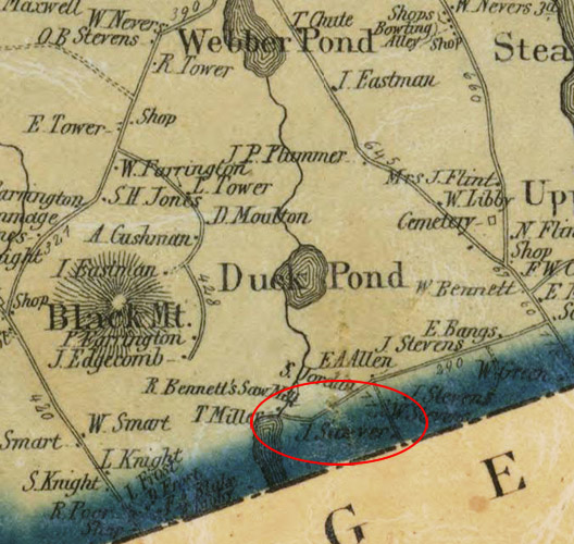
Finally we found the mill site - a beautiful location completely taken over by nature.
On the way to the mill site, we saw:
huge trees,
weird trees,
huge fungi,
racoon outhouses,
scat of various forms and sources,
tree bark, and
on and on.
Finally we found the mill site - a beautiful location completely taken over by nature.
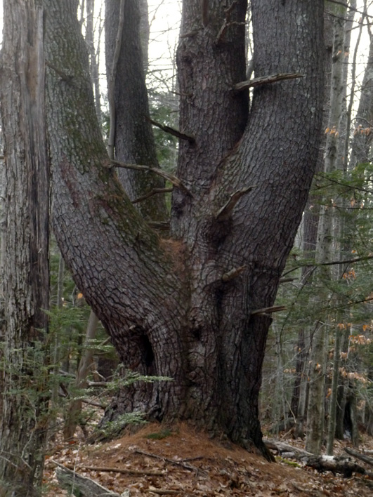
Left:
An incredibly large and vigorous white pine with multiple trunks. The
trunks are most likely the result of injury to the original terminal
shoot (by animal or insect), when the branches below took on the
role of new leaders.
Right: This twisted tree looks as though vines have encircled it. What appear to be vines are actually ridges in the tree. What caused the ridges and the ultimate spiral form?
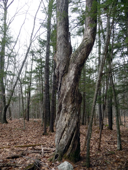
Right: This twisted tree looks as though vines have encircled it. What appear to be vines are actually ridges in the tree. What caused the ridges and the ultimate spiral form?
This is probably an artist conk mushroom, but it is huge!