Amos Mountain
September 26, 2015 |
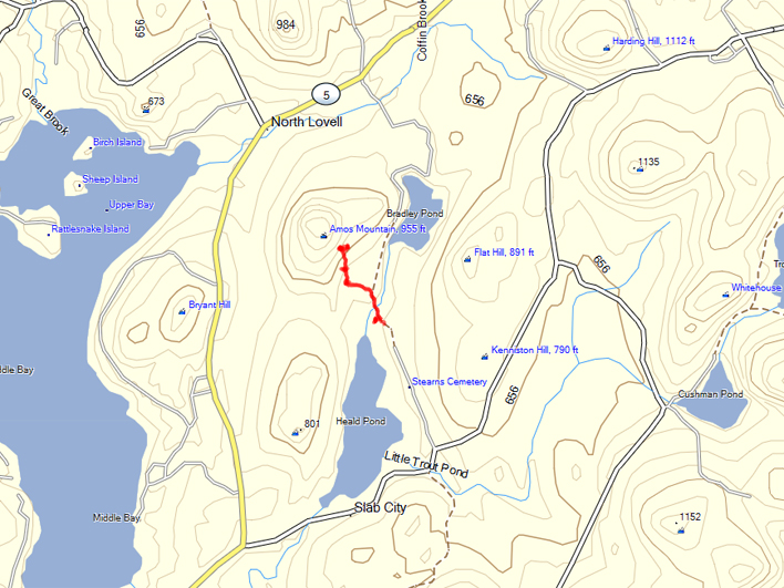
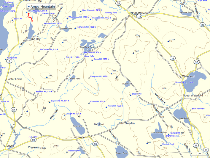 | Today we investigated a stone structure located on a slope of Amos Mountain.
The Amos Mountain trail is in the Heald and Bradley Ponds Reserve of the Greater Lovell Land Trust (GLLT).
For more information and maps |
 | |
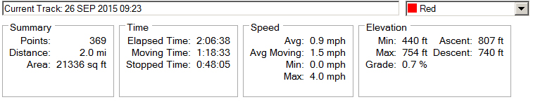 | As usual, we stop frequently to investigate nearly everything. |
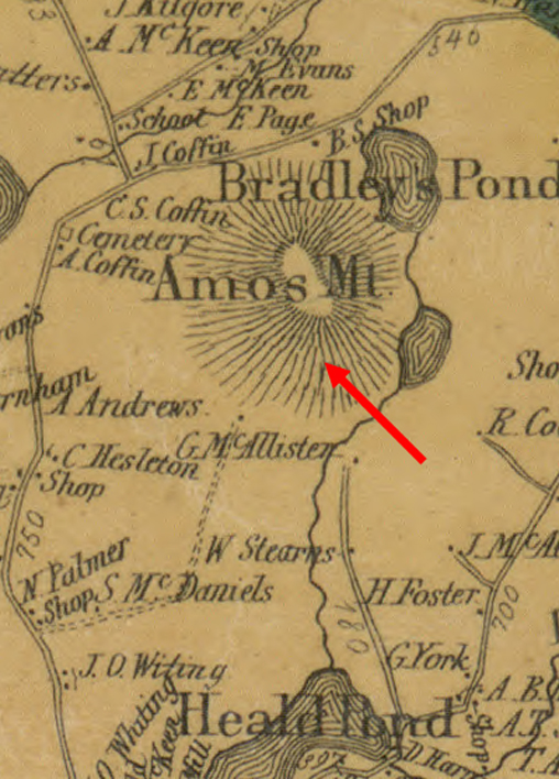 | This
is a clip from an 1858 map of Oxford County that shows the area of our
hike. Note that there is no evidence of a homestead or other
building shown on this map. |
 | The structure is built into the slope. The top is flat and covered with soil. There appear to be two "rooms" or enclosures. |
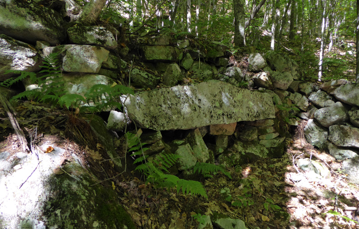 | The
"room" on the right in the photo above has a large stone placed in a
position that looks like a mantle over a fireplace. There is no
evidence of fire.
In July 2016, Dr. Robert Sanford, author of
Reading the Rural Landscape, will give a presentation as part of GLLT's
Natural History Program followed by a hike to this site the following
day. We may get some answers to our questions.
Lecture:
Wednesday, July 20, 7:30 pm
Charlotte Hobbs Memorial Library
Hike:
Thursday, July 21, 9:30 am - 12:30 pm
Trailhead: Flat Hill parking lot, Heald Pond Road
|
 | A beautiful chicken of the woods (Laetiporus sulphureus)
|